Where the walk starts: Valle Miglioretti
Valle Miglioretti is one of the small valleys cut into the south-east flank of the Superga hill, within Pino Torinese. It takes its name from the hamlet of Tetti Miglioretti, one of the old rural settlements of the town along with Tetti Paletti, Tetti Civera and Valle Ceppi. Arriving by car, you follow via Valle Miglioretti, the road climbing from the valley floor towards Tetti Paletti: here, near the Moby Dick swimming pool, walking groups and local associations regularly meet before heading into the Park.
The setting is the Superga Hill Natural Park, a UNESCO MAB reserve: oak, chestnut and downy oak woods, abandoned old fields, restored farmhouses and a network of numbered trails with red-and-white waymarks. From here the Panoramica ridge is a little over an hour of climbing, and the Basilica another good hour and a half along the crest.
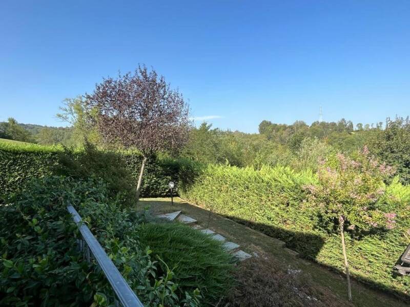
Compared with the Sassi side, this flank of the hill has three advantages: it stays almost entirely in the woods, it crosses only short stretches of minor asphalt, and it offers unexpected views over the Chieri plain, the Maritime Alps and, on clear days, Monviso.
Trail facts
Start: Valle Miglioretti / Tetti Paletti, Pino Torinese.
Finish: the forecourt of the Basilica of Superga, 672 m.
Length: about 8–9 km one way. Ascent: about 400–450 m.
Time: 2 h 45 – 3 h 30 at walking pace; 1 h 15 – 1 h 40 running.
Grade: E (hiking): paths and cart tracks, no technical sections.
Waymarks: 43 and 44 at first, then GTC (red-white-red) and the Planets Trail along the ridge.
Water: fountain at the Monte Aman picnic area; the "i turet" fountain below Bric del Duca; the water point at the start of the Panoramica in Pino.
Maps: "Sentieri della Collina Torinese", sheet 1, 1:15,000 (2022 ed.); "Il Parco di Superga" 1:10,000.
Length and ascent are a reasoned estimate based on the documented sections (Valle Miglioretti–Panoramica loop: about 10.3 km and 350 m of ascent; Panoramica Pino–Superga: about 7.9 km). Download a GPX track before setting off and check conditions on the ground.
1. From the valley to the Bric Barletta ridge
At the end of via Valle Miglioretti you leave the asphalt for the path local walkers call the "aqueduct trail": a cart track climbing through the woods along the line of the old pipes. It is a gentle start, good for warming up. On the road coming up from Valle Ceppi, a stretch of the Roman aqueduct of Chieri still surfaces here, which collected the hill's springs to supply the Roman town of Carreum Potentia: that is where the trail's name comes from.
After the first stretch you leave the cart track and climb right onto the Bric Barletta ridge. The path passes open meadows, then returns to the woods; the ground is typical of the Turin hills, layered clay and marl that turns soap-slippery after rain. Above Tetti Paletti the trail narrows and sinks between steep clay walls, among woods and long-abandoned fields.
2. The balcony over the Chieri plain and Monte Cervet
A few hundred metres on you come out onto a grassy ridge that is one of the finest spots of the whole route: the view opens over the Chieri plain and, to the south-west, the Maritime Alps. Keep to the crest as it re-enters the woods, among fine oaks and chestnuts, alternating flat sections and slight descents. Ignore every side junction and stay on the ridge, following waymark 44.
A last steep pull between two power pylons leads to a 360-degree viewpoint at about 540 m: from the hills across the plain to Monviso. The pylon spoils the photo a little, though not the view.
A few more minutes among downy oaks and you reach the top of Monte Cervet, about 568 m. Here trail 44 drops away towards Valle Ceppi: take care not to follow it by mistake. The right direction soon brings you to the Panoramica Pino–Superga road, opened in September 1964 and closed to motorcycles for years.
3. Monte Aman and joining the Grande Traversata
Once across the Panoramica you move onto the flank of Monte Aman, about 580–600 m, where a picnic area with a fountain offers the first proper break. From here on you walk the main crest of the hill, following the Grande Traversata della Collina (GTC), the 65 km route from Moncalieri to Chivasso marked red-white-red.
If you would rather skip the summit you can bypass Monte Aman on the left and rejoin the path shortly after. If you have energy to spare, climb it: the view of the Basilica, still distant but already in line of sight, shows how much is left.
A little further, by the picnic area opposite the Adventure Park, the Trees Trail (yellow footprint) branches left, a favourite with runners and bikers: not the most direct way to Superga, but a beautiful variant for staying in the woods longer.
4. Along the ridge to Superga: hilltops, planets and fountains
From here the GTC runs parallel to the Panoramica, sometimes in the woods, sometimes brushing the road. This is the fastest-flowing part of the route, a long roll over Bric San Giacomo (660 m) and Bric Sueri, with the Basilica's dome appearing and disappearing between the trees.
Since autumn 2025 this stretch coincides, in reverse, with the Planets Trail: an 8.6 km themed route reproducing the Solar System at 1:869,653,000 between Superga and the Infini.To Planetarium in Pino Torinese. Walking towards the Basilica you meet the outer and dwarf planets first, then Uranus (3.3 km from the Sun), ringed Saturn, Jupiter, and finally, steps from the finish, the small rocky planets up to the Sun itself, a 1.6 m corten steel sphere on the forecourt. It is a fine way to measure out the last kilometres.
Past Bric del Duca (671 m), the highest point of the crest, you descend alongside the Panoramica to an open space with the drinking fountain locals call "i turet". From there you reach the narrow passage between the houses of Tetti Gioanin, follow the Baldissero road briefly on the pavement, and within a few hundred metres arrive at the "curva del tabachin" by the Superga Cooperative. One last uphill path through the woods and you emerge on the right side of the Basilica forecourt, where a board maps all the routes converging here.
5. At the top: what to see at the Basilica
The forecourt at 672 metres is one of Italy's most famous viewpoints: Turin below, the whole Alpine arc ahead, from Monviso to Monte Rosa. Walking right around the building is worth the few steps involved, to reach the Grande Torino memorial at the back, the plaque where on 4 May 1949 the plane bringing the team home crashed: it moves even those who know nothing about football.
The Basilica, 75 metres high, was commissioned by Vittorio Amedeo II as a vow for the 1706 victory over the French siege and designed by Filippo Juvarra; it holds the tombs of the House of Savoy. On the hilltop you also find the Visitor Centre of the Turin Hill Park and the upper station of the Sassi–Superga rack tramway, running since 1884.
How do you get back?
A loop via the Montosolo Tower. The classic CAI Pino Torinese loop returns towards Valle Miglioretti over Bric Brunassa, Bric Caross and the Montosolo Tower (599 m), then drops down via delle Margherite and via delle Rose to the Rio di Valle Gola (400 m), climbs a stretch of the "Rainbow trail" to the Marc'Antoni spring (425 m) and closes past Bric Barletta and Montolino. Done in full, with the Basilica detour, it is a loop of about 17 km and 560 m of ascent: a full day.
Back on foot the same way. Descending the GTC towards Monte Aman and Monte Cervet is pleasant anyway, because the Chieri views open the other way round and the drop along the Bric Barletta ridge is quick.
By public transport. From the Superga forecourt the GTT bus 79 (or the tramway) runs down to Sassi; from Pino Torinese line 30 takes you back to Turin. With two cars, leaving one in Pino and one at Valle Miglioretti solves everything.
What about mountain biking?
The south-east flank is one of the finest parts of the hill on two wheels as well. The classic Superga Park MTB loop climbs from Tetti Paletti: from the houses continue on the gravel track opposite, pass under two power lines and near a pylon pick up trail 43, which leads beyond Bric Bandiera to the Panoramica. From there you climb to Superga along the crest and return via Reaglie or Valle Ceppi: a loop of roughly 17–20 km and 350–530 m of ascent depending on the variant, easy to medium.
The section between Monte Cervet and Monte Aman is used by bikers and walkers alike: easing off on blind sections and giving way to those climbing is the hill's unwritten rule.
Nature and geology along the way
The Turin hill is a young relief, made of marl and clay laid down on the floor of a Miocene sea and later uplifted: on the climb from Valle Miglioretti you see it outcropping in layers, and it is what makes the ground so plastic after rain. Above it, the woods: chestnuts (in autumn, between Bric Barletta and Montosolo, small but plentiful), oaks and downy oaks on the drier crests, black locust in disturbed areas. Mushrooms grow on the cooler slopes, and roe deer often cross the path early in the morning or in the last hours of light.
Place names tell the farming history of the area: "Tetti" (Paletti, Miglioretti, Civera) are the rural hamlets, "Bric" the hilltops, "Valle" the cuts of the streams running down towards Chieri and the Tepice.
When to go
Spring and autumn are the best seasons: blossom and colour, mild temperatures, generally dry ground. Between Bric Barletta and Montosolo, in autumn, the chestnuts.
Summer: you walk in the woods most of the time, though it pays to start early, because the grassy Bric Barletta ridge and the Panoramica stretch are exposed in the middle of the day. Fill your bottle at the Monte Aman fountain.
Winter: the route stays walkable, but wet clay and leaves in the sunken sections call for trail shoes with real grip. Short days: plan to be back in daylight.
Practical tips
Waymarking. The first part follows waymarks 43/44 (red and white) and local orange arrows; several tracks converge in places, so keep a GPX on your phone. On the crest the GTC and Planets Trail signs are unmistakable.
Water and food. Carry your own: the fountains exist (Monte Aman, "i turet"), though they are far apart. At the Basilica there is a bar and a restaurant; in Superga village, the Cooperative.
With a dog. Park trails are open to dogs; in picnic areas and on the Basilica forecourt they must be on a lead. At our place dogs are welcome in The Green Space.
Respect the Park. Stay on marked paths, do not pick mushrooms without a permit, do not light fires, carry your rubbish back down.
Start from here
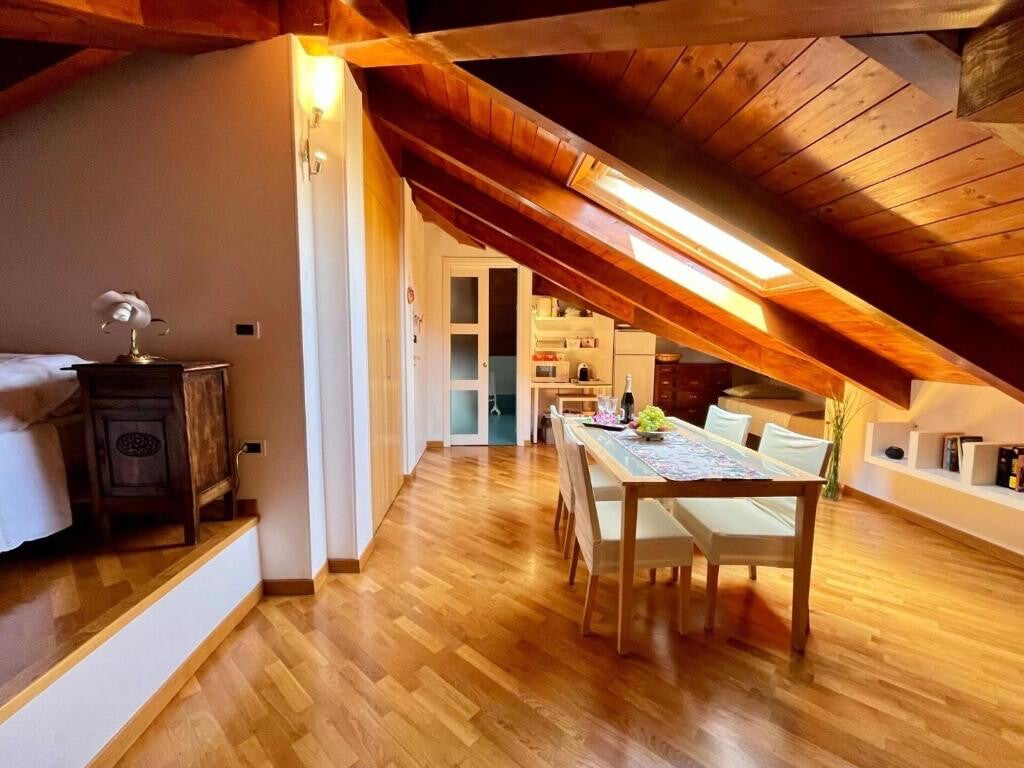
Paradise Nature & Wellness sits in Pino Torinese, on the crest between Turin and the Chieri plain: Valle Miglioretti and the start of trails 43 and 44 are a few minutes from the B&B. If you want a GPX track, advice on when to set off for the season or an idea for the way back, message us on WhatsApp: Lidia knows these woods better than any map.
Sources: Aree Protette del Po Piemontese (trail sheets and CAI Pino Torinese excursion programme); S. Camanni, "Le più belle passeggiate sulla collina torinese"; "Sentieri della Collina Torinese" map 1 (2022); CAI Moncalieri (GTC) and CAI Asti; Infini.To and the Municipality of Pino Torinese (Planets Trail); tracks and reports from hikers and bikers on Wikiloc, AllTrails, MTB Piemonte and Gulliver. Always check trail conditions before setting off.
Book directly on WhatsApp, breakfast and parking included.