The side of the hill Turin has forgotten
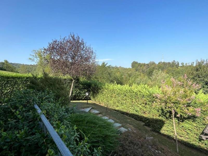
When people talk about the Superga hill they think of the Sassi side, the climb to the Basilica and the rack tram. But the hill has another face, turned south-east towards Chieri: wooded side valleys, hamlets called "Tetti", abandoned fields the wood is taking back. Camanni, in his guide to the finest walks on the Turin hill, calls it "the other side" and proposes this loop from Valle Ceppi, a hamlet of Pino Torinese, climbing to the ridge road by way of Monte Cervet and Monte Aman and returning via Bric Barletta and Tetti Paletti.
It is an easy route, about two and three quarter hours and 350 metres of ascent, on paths and lanes, waymarked 44 on the way up and 43 on the way back. Spring is the best moment, when the ridge meadows are in flower and the air is still clear towards Monviso; but the woodland keeps it walkable in summer too.
Route facts
Start and finish: the Valle Ceppi car park, opposite the Ostaria d'la Tradisson, 380 m (Pino Torinese).
Time: about 2 h 45 — one hour to the viewpoint, 20 minutes to Monte Cervet and the ridge road, 30 minutes to the picnic area, 1 h 15 for the return.
Ascent: about 350 m. Grade: E, fairly easy, on paths and lanes.
Waymarks: 44 up and 43 back, red and white; the Sentiero degli Alberi with a yellow footprint; a short stretch on trail 24.
Altitudes: Valle Ceppi 380 m; viewpoint 540 m; Monte Cervet 568 m (555–577 m in other sources); Monte Aman 585–600 m; picnic area 475 m.
Water: fountains at the Monte Aman picnic area and at the Tre Querce site; the "i turet" fountain on the ridge road not far away.
Getting there: from Turin, the Pino tunnel road and a left turn after the tunnel; from Pino Torinese, a left turn off the Pino road or on foot from the centre.
Times and ascent come from Camanni's guide: they are estimates at walking pace, not surveyed figures.
1. From Valle Ceppi to the Rio Tepice
From the car park opposite the Ostaria d'la Tradisson, follow via Tetti Civera past the church of the Beata Vergine delle Grazie and the grocery shop. Walk on the level along the verge, between houses and restored farmsteads, to a junction with a cross: turn left into via Tetti Rocco, waymark 44, and descend slightly on gravel to ford the Rio Tepice.
Back on tarmac, climb into the wood; after a hairpin ignore the left fork and carry straight on along the track. At the second fork go right, climb to the next and turn left: from here the lane narrows and runs sunken between steep clay walls, through woods and old abandoned fields.
2. The ridge, the 540-metre balcony and Monte Cervet
After a few hundred metres the wood opens onto a fine grassy crest, with views over the Chieri plain and the Maritime Alps. Continue along the crest back into the wood, among handsome oaks and chestnuts, alternating level stretches and gentle dips; ignore all the junctions and stay on the ridge, waymark 44. The path climbs again between clay banks, keep right at a fork and climb through pleasant woodland.
A last steep pull between two pylons reaches the viewpoint, 540 m, about an hour from the start: a full 360-degree horizon, from the Chieri hills to Monviso. Continue along the crest among downy oaks, pass a great oak and reach Monte Cervet: 568 metres for Camanni, 555 or 577 in other maps. From here, following the edge of a sunken cart track, twenty minutes bring you to the Pino–Superga ridge road, opened in September 1964.
A warning: at Monte Cervet trail 44 does not continue towards Superga. The ridge road is to the right. Walkers arriving from Valle Miglioretti often go wrong exactly here.
3. Monte Aman and the Sentiero degli Alberi
Follow the ridge road along the verge, to the right, to the bend below Monte Aman — 585 metres on the trail 44 sheet, 600 on AllTrails — where a picnic area with a fountain invites a first stop. At the bend turn left onto the Sentiero degli Alberi, marked with a yellow footprint: one of the favourite paths of the hill's runners and bikers, which briefly follows waymark 24 and then drops left along the Rio Canarotto valley.
At the next fork keep left again, cross the stream and continue almost level through the wood to the equipped picnic area on the ridge road, opposite the Tre Querce adventure park, 475 m, half an hour from Monte Cervet: tables, toilets, drinking water and shade. The right place for a packed lunch.
4. Bric Barletta and Tetti Paletti
From the picnic area follow the pavement briefly to the left, round a right-hand bend and then take the gravel track on the right into the wood. It descends gently, crosses a small stream on a footbridge, ignores a first left fork and reaches a more marked track: follow it slightly uphill to the left, arrive at a sparsely vegetated area and, at a new fork, bear right beneath Bric Barletta.
Ignoring several junctions, carry straight on to Tetti Paletti, one of the historic rural hamlets of Pino Torinese.
5. The descent and the Roman aqueduct
From Tetti Paletti follow the fine cart track down to the road coming from Pino Torinese. Along it, on the right, you can see a stretch of the ancient Roman aqueduct of Chieri: built in the first century AD to carry water from the springs of Pino to the Roman town of Carreum Potentia, it ran about 5 kilometres, following the Rio Gola and then the Tepice and dropping some fifty metres, and could carry up to 4,000 cubic metres of water a day. The inner channel was waterproofed with cocciopesto.
It was first studied in the 1930s by Riccardo Ghivarello, a doctor from Pino Torinese; other fragments were found by Chieri scouts in 1962, and one is displayed today under the portico of Chieri town hall. Follow the road left, drop to the Rio Tepice and you are soon back at Valle Ceppi: an hour and a quarter from the picnic area.
Three variants
Short, Monte Aman – Monte Cervet. From the Tre Querce adventure park car park, a 5 km loop with 130 metres of ascent, about an hour and twenty, easy: Monte Aman, the ridge road and Monte Cervet with views to Superga. Roughly a third is on road. Dog friendly.
By mountain bike, trail 43 and Bric Bandiera. The classic Superga park MTB loop climbs exactly here: from the Valle Ceppi church past the cemetery and via Mont Cervet to Tetti Paletti; continue on the track opposite, pass beneath two power lines and near a pylon pick up trail 43, which runs beyond Bric Bandiera to the ridge road. The Monte Cervet–Monte Aman section is shared with walkers: slow down on blind stretches.
Long, all the way to the Basilica. From Monte Aman, instead of dropping onto the Sentiero degli Alberi, follow the GTC along the crest to Superga via Bric San Giacomo, "i turet" and Bric del Duca: add about 4–5 km and a hundred metres of ascent, and return to Valle Ceppi the same way or take bus 79/ to Turin.
Clay, oaks and place names
The surface of this loop tells the geology of the hill: marls and clays laid down on the floor of a Miocene sea and later uplifted, outcropping in layers on the sunken sections and turning to soap after rain. Above them the wood: chestnut, oak and downy oak on the dry crests, black locust in disturbed ground; roe deer early in the morning, mushrooms on the cool slopes in autumn.
The place names are a lesson in farming history: the "Tetti" — Civera, Rocco, Paletti — are the rural hamlets, the "Bric" the hilltops, the "Valle" the cuts of the streams running towards Chieri and the Tepice.
Practical tips
When. March and April for the flowering meadows and clear air; excellent in autumn too. In summer the wood protects you, but the grassy crest is exposed: start early. On wet ground the clay is slippery.
Water and food. Fountains at Monte Aman and Tre Querce. At Valle Ceppi the Ostaria d'la Tradisson and a grocery; nothing on the ridge.
Signage. Red and white 44 and 43, yellow footprint for the Sentiero degli Alberi. At the ridge junctions always stay on the crest, and download a GPX track.
From the B&B. Valle Ceppi is a hamlet of Pino Torinese: reachable on foot from the centre or a few minutes by car.
Start from here
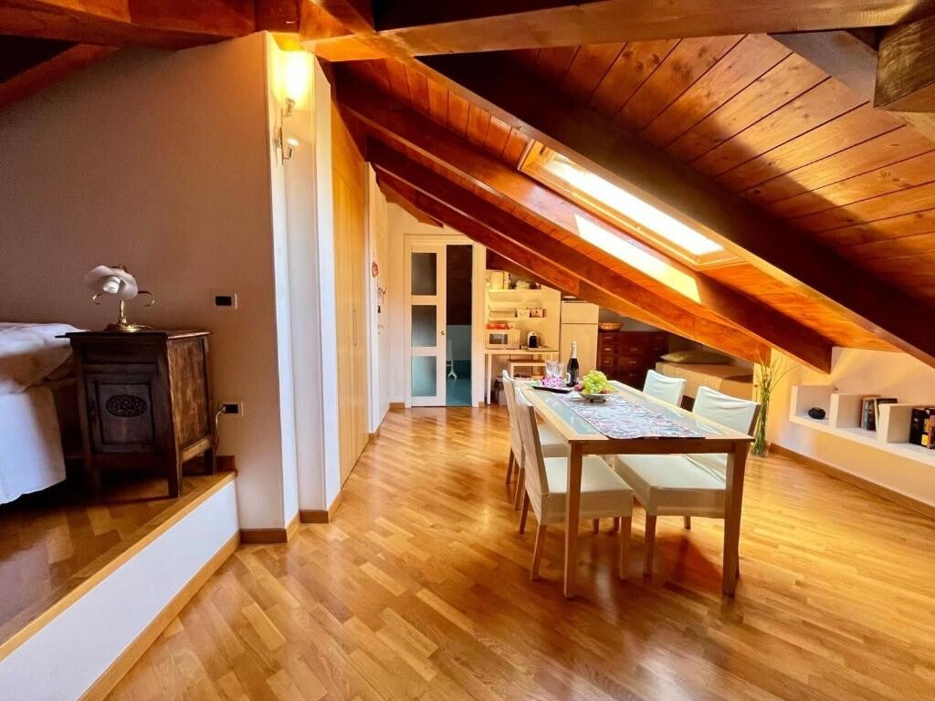
Paradise Nature & Wellness is in Pino Torinese, on the ridge between Turin and the Chieri plain, in the heart of the Superga Hill Park. For a GPX track, advice on the best start time or an idea for the return, message us on WhatsApp.
Sources: Stefano Camanni, "Le più belle passeggiate sulla collina torinese" (loop description, times, waymarks); trail 44 sheet (Pino Turismo); AllTrails (Monte Aman – Monte Cervet variant); MTB Piemonte (trail 43 variant); municipality of Chieri, Turismo Torino and Archeocarta (Roman aqueduct of Carreum Potentia); PeakVisor (altitudes). Trail conditions and opening times change: always check before setting out.
Réservation directe sur WhatsApp, petit-déjeuner et parking inclus.