What the GTC is
The Grande Traversata della Collina is a walking route of about 65 kilometres crossing the whole Turin hill range from south-west to north-east: it starts at the Parco delle Vallere in Moncalieri, climbs to the Colle della Maddalena (715 metres, the highest point), passes Pecetto, Pino Torinese and Superga, then Baldissero, Castiglione, Gassino, Rivalba and Castagneto Po, and drops to Chivasso (183 metres, the lowest point). It was created in the 1990s by CAI Moncalieri with a network of local partners, and CAI Moncalieri still maintains it and publishes the GPX tracks.
Total ascent is reported differently depending on the source: about 2,200 metres according to CAI Moncalieri, 1,507 metres up and 1,387 down according to the MTB Piemonte survey. The difference comes from the measuring method and the variants chosen; for planning, take the higher figure.
The waymark is unmistakable: red-white-red bars with "GTC" in black on white. The reference maps are "Sentieri della Collina Torinese" nos. 1 and 2 (1:15,000) and Fraternali no. 18 (1:25,000).
Route facts
Full route: Parco delle Vallere (Moncalieri) → Chivasso, about 65 km.
Altitudes: lowest 183 m at Chivasso (187 m in other sources), highest 715 m at the Colle della Maddalena.
Ascent: about 2,200 m per CAI Moncalieri; 1,507 m per MTB Piemonte.
Official stages: VisitPiemonte gives Stage 1 Vallere → Basilica of Superga and Stage 2 Superga → Chivasso. MTB Piemonte splits it into six half-day mini loops.
Waymarks: red-white-red with "GTC". GPX tracks: published by CAI Moncalieri.
Section described here: Colle della Maddalena → Pino Torinese → Superga → Baldissero → Rivodora.
Water: the "i turet" fountain on the ridge road; fountains at Superga and at the Baldissero crossroads; a water point at the start of the ridge road in Pino.
Transport: Pino Torinese ↔ Turin on bus 30; Superga ↔ Sassi by rack tram or bus 79/.
Per-section distances and times are not published consistently: derive them from the CAI Moncalieri GPX. The times here are estimates at a walking pace.
Stage 1 — From the Colle della Maddalena to the hermitage
The central section begins at the Colle della Maddalena, 715 metres: the roof of the Turin hills, with the Faro della Vittoria — the 1928 monument that shines a beam over the city at night — and one of the most complete panoramas of the Alpine arc, from Monviso to Monte Rosa.
From the pass the GTC descends towards the Camaldolese hermitage, whose long boundary wall accompanies the path, and takes the Pecetto–Pino road towards the Planetarium and the astrophysical observatory. From here the ridge is already Pino Torinese's.
Stage 2 — Pino Torinese: the church, the cypress, the bed
A signed variant enters the centre of Pino Torinese as far as the parish church of the SS. Annunziata: the panoramic churchyard with its old cypress is one of the finest balconies on the whole route, Turin on one side and the Chieri plain on the other. From the church the GTC climbs via Maria Cristina towards the cemetery and picks the ridge up again.
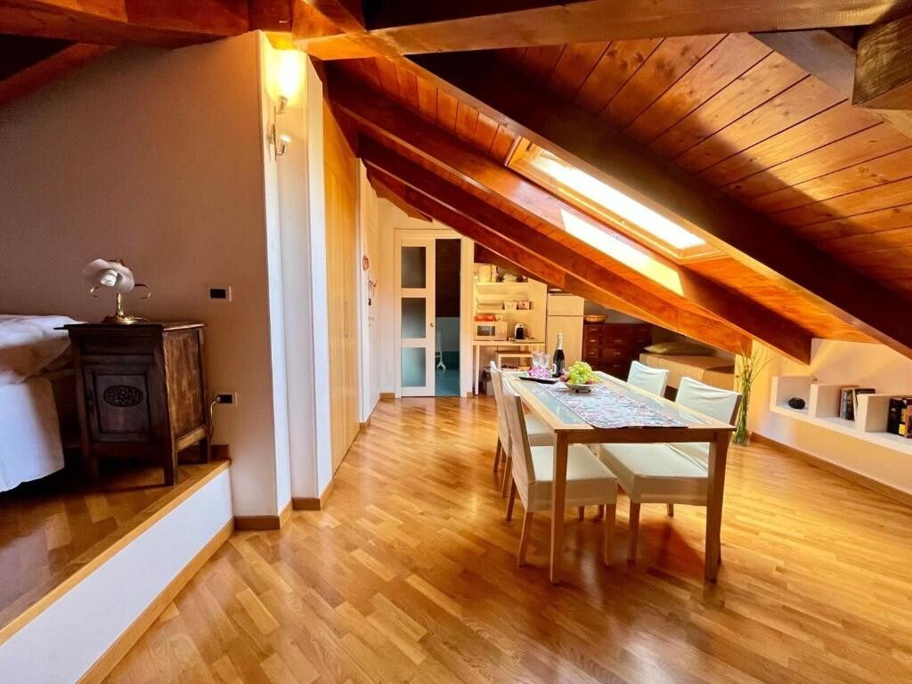
Pino is the perfect place to break the crossing: halfway between the Maddalena and Superga, with bars, restaurants and shops, and linked to Turin by bus 30. Staying at the B&B you can walk in from the Maddalena in the afternoon and set off for Superga next morning on fresh legs. At the start of the ridge road there is a water point to refill bottles.
Stage 3 — From Pino to Superga along the crest
The Pino Torinese (500 m) to Basilica of Superga (675 m) section mostly follows the path running beside the Strada Panoramica, the ridge road opened in 1964 and long closed to motorbikes. For those who prefer woodland there is the crest variant: cross the road, climb a concreted lane then a path to Bric San Giacomo (660 m), drop to the ridge-road clearing where the cast-iron "i turet" fountain gives drinking water, and continue with trail 50 to Bric del Duca (669 metres per CAI Asti, 671 in other sources), then descend on trail 57 "del Rosmarino" towards Superga.
Since autumn 2025 this section coincides, in reverse, with the Planet Trail: the thirteen lecterns of the scale Solar System give the climb a nice rhythm.
Stage 4 — Superga
The Basilica esplanade is the finish of the official Vallere–Superga stage and the best-supplied stop on the crossing: panoramic bar, restaurant, the Basilica café, and the historic fountain in the narrow street of the hamlet. From here you can drop to Turin by rack tram (closed on Wednesdays) or bus 79/, or stay to visit the Basilica, the Royal Tombs and the Grande Torino memorial.
Stage 5 — From Superga to Baldissero and Rivodora
From the right-hand side of the churchyard, by the route board, a path drops through the woods to the "curva del tabachin" near the Superga cooperative. Turn left onto the SP4 for Baldissero, which has a pavement, pass the narrow section between the houses of Tetti Gioanin and leave the climb to the ridge road on the right. Baldissero Torinese welcomes you with a fountain at the crossroads, bars and restaurants.
From Baldissero the GTC leaves the crest and drops about 345 metres to Rivodora, in the Rio Dora valley, before climbing again towards Castiglione: this is where the crossing changes character, from the Superga woods to the hamlets and vineyards of the northern slope.
Three ways to walk it
In two days. Day 1: Vallere → Maddalena → Pino Torinese, night at the B&B. Day 2: Pino → Superga → Baldissero → … → Chivasso. This is the sporting split: the second day is long and needs a dawn start. A gentler alternative: night in Pino, then Pino → Superga with the tram down, resuming stage two another day.
In three or four days. With Pino as a fixed base: each morning take bus 30 or the car to the resume point, walk the stage, come back by public transport. The natural stages are Vallere → Maddalena; Maddalena → Pino → Superga; Superga → Baldissero → Castiglione; Castiglione → Chivasso. This is the most relaxed formula, and the one we recommend if you also want to see Turin.
By mountain bike. MTB Piemonte describes the GTC as six half-day mini loops, mixing rideable sections with minor roads. The surface is excellent between Pino and Superga; some descents towards Rivodora are best pushed.
The landscape of the crossing
The Turin hill is a young relief of marine marls and clays, lifted as the Alps pushed towards the plain: from the GTC crests you can see them outcrop in layers, and you understand why the paths turn to soap after rain. Above them, woods of oak, chestnut and black locust, with downy oaks on the drier ridges.
The crossing is also a catalogue of history: the castle of Moncalieri and the Vallere, the Faro della Vittoria, the Camaldolese hermitage, the Pino observatory, the Basilica of Superga with the Royal Tombs, the hamlets and votive pillars of Baldissero and Castiglione, down to the Po at Chivasso. From Superga the GTC also links to the long Superga–Vezzolano–Crea route, about 118 km towards Monferrato.
Practical tips
When. March to November; in summer start early and count on the shade of the woods. In winter the GTC stays walkable, but wet clay and the descents towards Rivodora call for grippy shoes and poles.
Water and food. Fountains are far apart: "i turet" on the ridge road, Superga, the Baldissero crossroads. Restaurants and shops in Pino, Superga and Baldissero. Always carry at least a litre and a half.
Navigation. GTC red-white-red waymarks, but many junctions with numbered trails: download the GPX from CAI Moncalieri.
From the B&B. Pino Torinese is on the route: you set off on foot. To rejoin the GTC elsewhere, take bus 30 to Turin and connect, or we can help with a lift.
A fixed base on the crossing
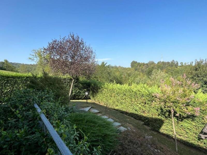
Paradise Nature & Wellness is in Pino Torinese, on the ridge between Turin and the Chieri plain, exactly halfway along the GTC. Early breakfast for dawn starts, free parking and laundry for multi-day walkers: message us on WhatsApp and we will plan the stages together.
Sources: CAI Moncalieri (description and GPX tracks); CAI Asti (Pino–Superga section); VisitPiemonte and Outdooractive (official stages); MTB Piemonte (elevation survey); Po Piemontese protected areas. Times and trail conditions change: always check before setting out.
Réservation directe sur WhatsApp, petit-déjeuner et parking inclus.